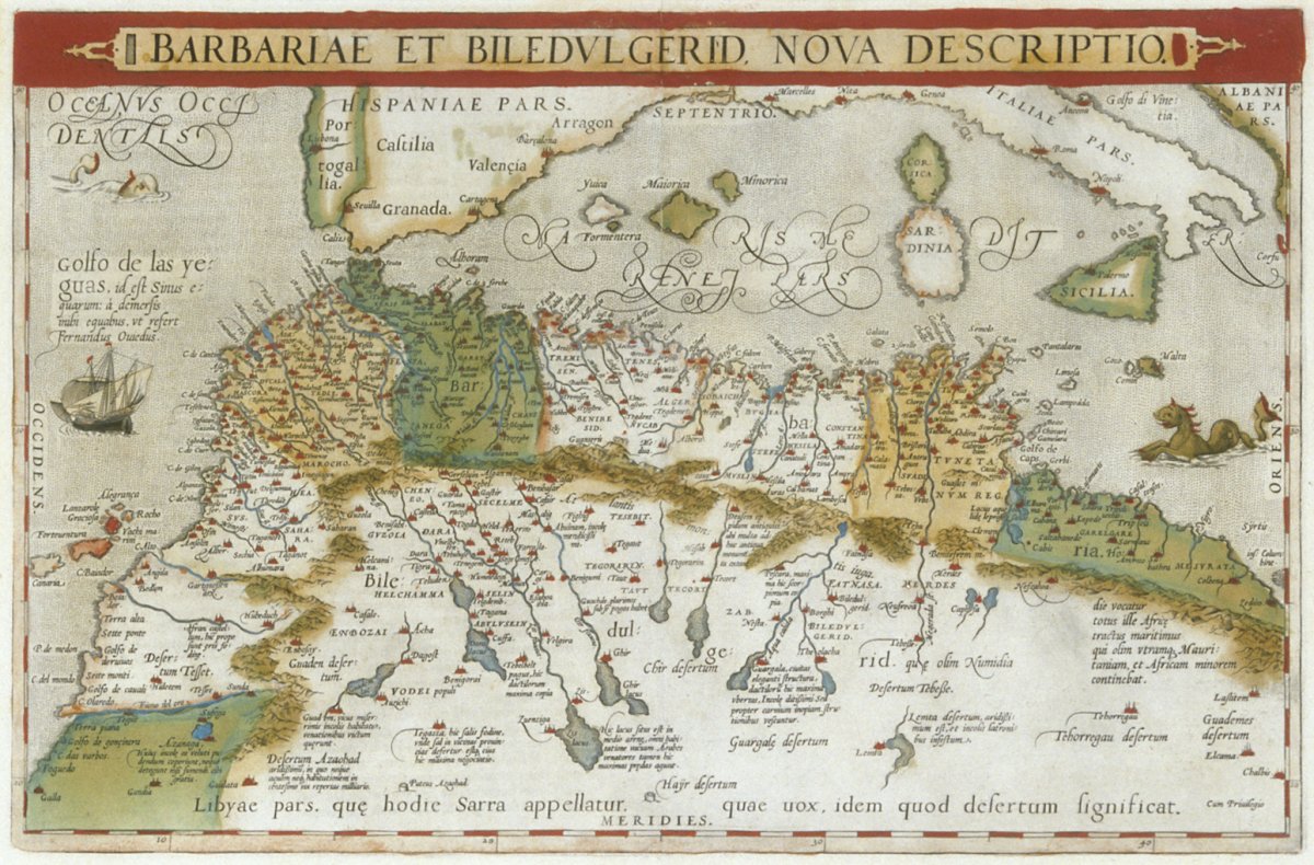
Barbariae et Biledvlgerid. Nova Descriptio
Share this:
Share this: